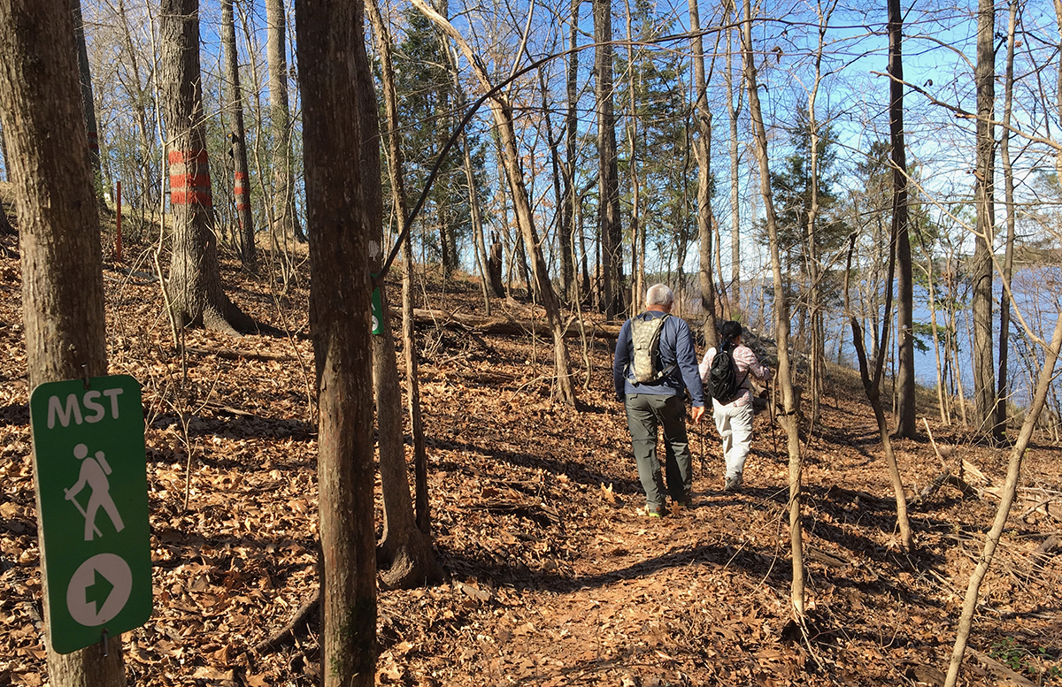
These day hike sections of the Mountains-to-Sea Trail offer a respite from civilization and beautiful scenery over a variety of distances
by Joe Miller
The Mountains-to-Sea Trail runs through some pretty wild terrain on its 1,200-mile journey across North Carolina. To the west, it starts in the Great Smoky Mountains, then it heads over the highest point in the east, the 6,684-foot Mount Mitchell. It crosses the Linville River, which drops 2,000 vertical feet through its namesake gorge and proceeds directly to the wet and wild Wilson Creek area. Eventually, it makes its way to the coastal Croatan National Forest, whose lush vegetation makes it nearly impenetrable in spots.
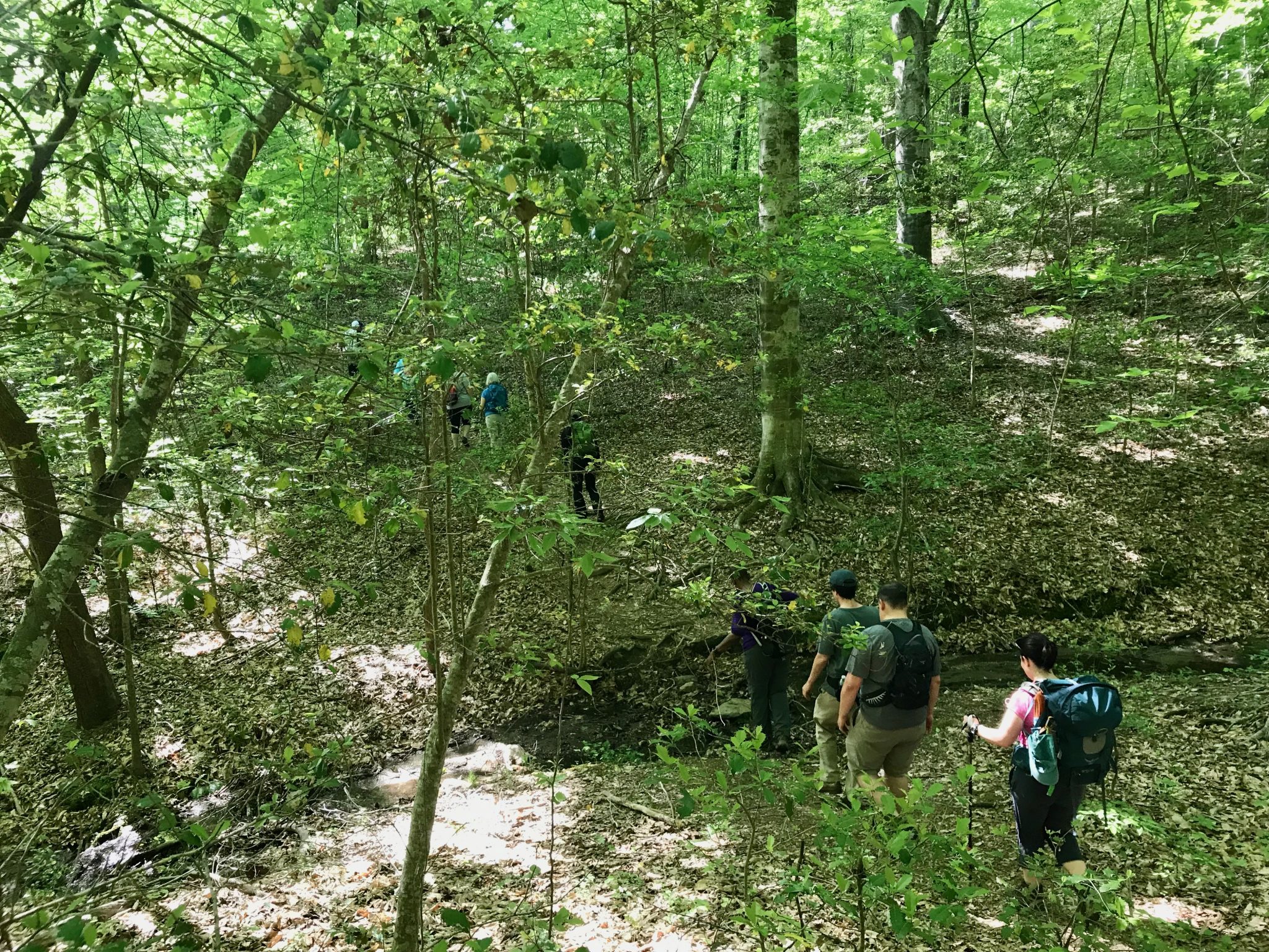
Wild as its journey is, though, perhaps nowhere is the MST’s ability to distance us from civilization more appreciated than on its 62-mile run along Falls Lake through the Triangle. You may cross an occasional road; you may bump up against someone’s backyard. But for the most part, you’re insulated from the nation’s 41st-largest metro area by a veneer of forest, meadow and lake.
That 62 miles along the lake’s shoreline, from Falls Lake Dam in west Wake Forest to Penny’s Bend Nature Preserve in Durham, is divided into 18 day-hike sections ranging in length from just under a mile to slightly more than 7 miles. Each section has its own personality, but five in particular excel at offering backcountry escapes.
Below are descriptions of each of those five stretches, including length, trailhead locations and, if you prefer not to set up a shuttle and don’t want to hike the entire stretch twice (out and back), a convenient turnaround spot.
Note that portions of these trails may be on game land, so it’s a good idea to wear some identifying blaze-orange item if hiking between September and May (find hunting seasons on the Butner-Falls of Neuse Game Land at ncwildlife.gov).
Shinleaf Recreation Area to NC 98 (Day-Hike Section H) 3.0 miles, one way
From the hiker’s parking area (a half-moon drive on your left, shortly after passing the entrance gate), continue walking up the road a short distance to pick up the white-circle-blazed MST on your left. Immediately descend into a longleaf pine forest and cross a couple of small creeks before entering a hardwood forest. You don’t pick up the lake until you’re three-quarters of a mile in; from there you’re dipping in and out of secluded coves for the next mile and a half. You’ll find great views of the lake and get in more elevation than you might expect. The cove hiking stops at about the 2.5-mile mark, where you continue on an upland route until you begin hearing traffic on NC 98, your turnaround point.
For a shorter hike: The fourth cove you duck into is fed by a small farm pond just up from the trail. It makes for an easy turnaround and a total 2.8-mile hike.
Trailhead: Shinleaf Recreation Area, 13708 New Light Road, Wake Forest
NC 50 to NC 98 (Day-Hike Section K) 7.2 miles, one way
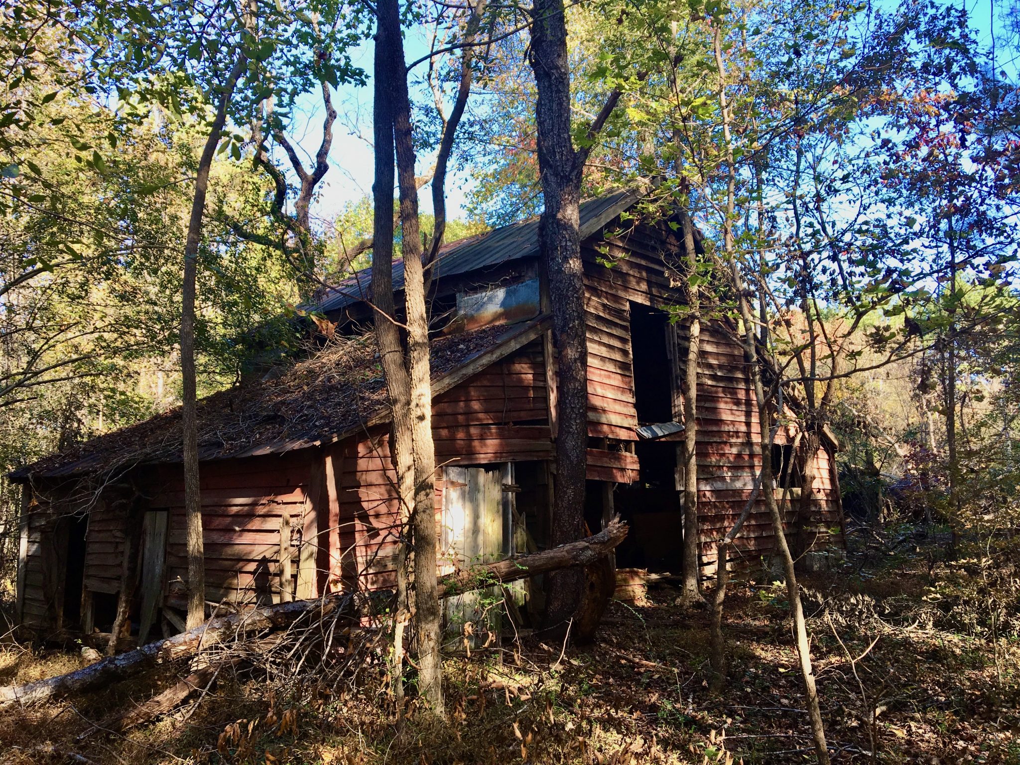
This is the longest segment of MST along Falls Lake and excels at avoiding humanity. And, with the potential for a 14.4-mile out-and-back, it’s a great way to spend an entire day. Starting from NC 50 and hiking west, you spend the first 2 miles hiking along the lake, catching a view of the Rollingview Marina across the way. The trail explores the forest above the lake for another couple miles, heading through a long-abandoned farm with a tobacco shed on your left and a barn foundation on your right. You’ll cross old roadbeds and encounter other signs of life as it was before the Neuse River was dammed in the 1970s to create the lake. You’ll snuggle up to the lake again, passing through narrow corridors of green, for the last half mile. It’s a good stretch to clear your mind.
For a slightly shorter hike: After glimpsing the Rollingview Marina, you’ll follow a cove, then head upland; hike for another 10 minutes to get the feel of this higher terrain, then return, for an overall 6.5-mile hike.
Trailhead: Roadside parking off NC 50 just north of the right turn into the Falls Lake Visitor Center, 13304 Creedmoor Road, Wake Forest
Rolling View Access to small beach (Day-Hike Section M) 2.5 miles, one way
From the far corner of the gravel parking lot, pick up the blue-blazed access trail, which Ts into the MST in a half mile; go left. This hike takes you, for the first mile or so, through some of the more mature hardwood forest you’ll find along Falls Lake. It’s also got some of the most elevation, giving the trail more of a mountain feel; that feeling is enhanced a mile and a quarter in by a 10-foot waterfall (provided it’s rained recently). You’ll get your first good view of the lake about a mile and three-quarters in and a densely vegetated cove just beyond. At the 2.5-mile mark, there’s a small sand beach that makes for a nice spot to stop and enjoy the lake. It also makes for a fitting turnaround spot.
For a longer hike: The hike described makes for an enjoyable 5-mile out-and-back, but if you want more mileage, continue hiking another 2 miles to the Lick Creek Bridge, where you might encounter an angry beaver known for slapping his tail at visitors.
Trailhead: Rolling View MST Access, located on your left just before the gate to the Rolling View Recreation Area, 4201 Baptist Road, Durham
Red Mill Road to Red Mill Road (Day-Hike Section S) 4.6 miles, one way
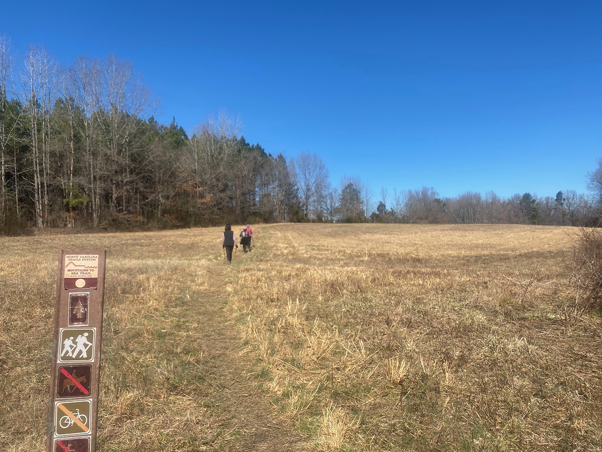
Such variety on this stretch! From the northern trailhead, enter a bottomland forest that can get swampy after a good rain. The trail bumps up against a farm pond, then takes in a sweeping view of a swampy stretch of Falls Lake that’s more wetland than lake. The trail passes through a planted pine forest, follows the edge of a long meadow, crosses a power line, then crosses an active rail line. There’s an abandoned farm with a good-size barn in decline, then another rail line (this one abandoned). Cross a clearcut, then find yourself in a wooded area along New Hope Creek. This section ends at Red Mill Road — not where you started, but less than 2 miles south, making for a quick shuttle.
For a shorter hike: The first rail line you encounter, the active line, is 3 miles in and makes for an easy-to-find turnaround and 6-mile hike.
Trailhead: Red Mill Road North Trailhead, Durham. If you are coming from I-85, take the Red Mill Road Exit north and go 3 miles. Parking for the trail is just off the left side of the road, though hidden until you get there. GPS: 36°05.041,’ 78° 49.429’. To pick up the trail from the parking area, walk south along Red Mill Road for about 50 yards; the trail enters the woods on your left.
Penny’s Bend to Red Mill Road (Day-Hike Section T) 4.1 miles one way
The pacing on this hike is ideal, with a good warmup and a juicy carrot at the end. The first 2 miles or so offer a rolling ramble through bottomland forest and farmland not worked in 30 to 40 years. There’s a pine grove and a hardwood forest. About a mile and a quarter in, take the marked campsite spur for 100 yards to one of the nicest camping spots around. At just under 2 miles, you’ll climb a bluff overlooking the Eno River. You’ll hike a mix of old roadbeds and hiking trails for another mile or so, reaching a spot at the 3.2-mile mark that offers the best view of the Eno River below and, in winter, to the north as well. The last mile or so is a descent through forest with minimal understory, offering good sightlines into the woods.
For a shorter hike: Ascending the first bluff 2 miles in gives you a view and an easy-to-identify turnaround spot.
Trailhead: Same as previous. Red Mill Road North Trailhead, Durham. If you are coming from I-85, take the Red Mill Road Exit north and go 3 miles. Parking for the trail is just off the left side of the road, though hidden until you get there. GPS: 36°05.041,’ 78° 49.429’. NOTE: To pick up the trail from the parking area, walk south along Red Mill Road for about 50 yards; the trail enters the woods on your left.
For more information on these hikes, visit mountainstoseatrail.org.

This article originally appeared in the January 2026 issue of WALTER magazine.