These trails tucked near city centers, schools, and shopping areas offer respite from the bustle of the Raleigh area.
by Joe Miller
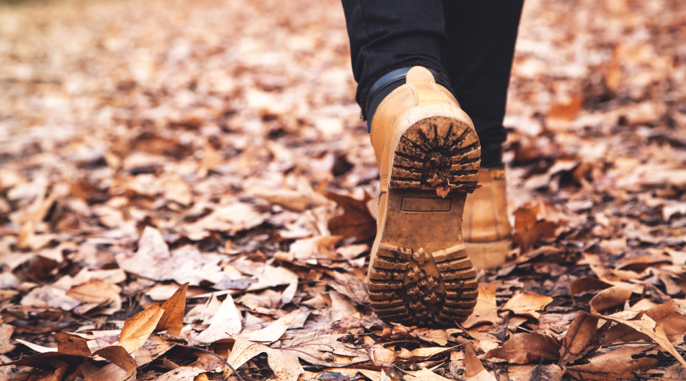
In a typical city, you have to drive an hour or more to find nature. Fortunately, ours is not a typical city. In the Triangle, you needn’t drive far to escape; in fact, you can probably walk. Here, we’ve got a preponderance of trees and a climate that produces lush greenery in even the smallest patch of dirt — meaning that even a storm drainage corridor near a housing development can yield a sense of wild adventure.
These five hikes epitomize the types of gateway getaways tucked throughout the area. Some, such as Raleigh’s Reedy Creek Trail, mix nature with urban amenities. Others, such as Schenck Forest, offer a sense of woodland adventure just a couple miles from town. And all are easy hikes, without much time behind the wheel.
Reedy Creek Trail, Raleigh
To borrow a line from Arlo Guthrie’s “Alice’s Restaurant”: you can get just about any kind of hike you want on the Reedy Creek Trail. Up for ice cream or some Mediterranean fare? You’ll find it at the east trailhead on Hillsborough Street. Want to wax nostalgic on your university days? You’ll find the spark on Meredith College’s campus, through which the trail passes. Maybe a crash course in contemporary sculpture? You can swing right by Thomas Sayre’s Gyre as the trail makes its way through the North Carolina Museum of Art’s park. Then you’re on to greener pastures as the trail sidles up to North Carolina State University’s Equine Educational Unit, replete with white barns and some 30 horses grazing green pasture.
Start at 2110 Blue Ridge Road (the NCMA parking lot); 5 miles out-and-back; for hours and more info, visit raleighnc.gov/places/reedy-creek-trail
American Tobacco Trail, Durham
Sometimes you just need a long, undemanding walk in the woods — one where you can get lost in conversation with a companion, or lost in contemplation with your own thoughts. The middle and southern sections of the American Tobacco Trail, in southern Durham, Chatham, and Wake counties, offer just that. From the Scott King Road Access, head south on the trail, which at this point consists of paved surface, ideal for baby strollers or walkers, and a 3-foot-wide surface of finely crushed gravel fit for runners. The wide passage — in a previous life, it was the Durham & South Carolina Railroad — lets the sun in on cold winter days while the stands of loblolly pine create walls of green that are especially welcome in the drab of winter.
Turn around at the Northeast Creek bridge for a 2-mile hike, or continue to the wetland overlook just above O’Kelly Chapel Road and u-turn for a longer, 3.5-mile outing.
Start at 602 Scott King Road, Durham; 2 or 3.5 miles as described; for hours and more information, visit triangletrails.org/american-tobacco-trail
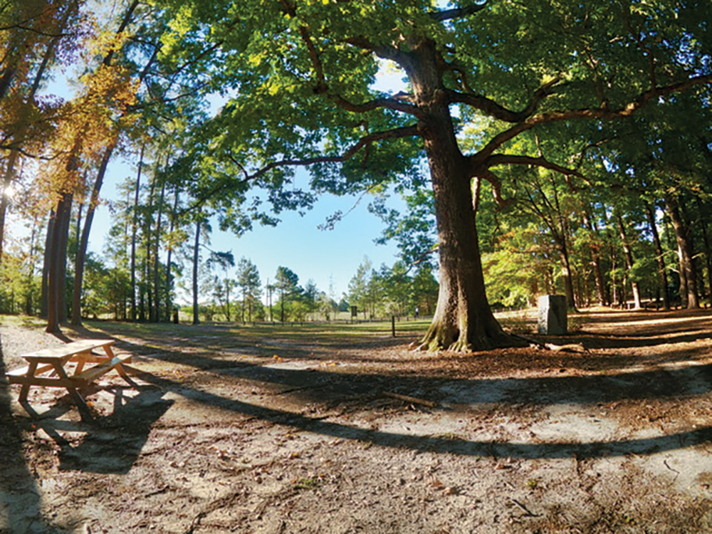
Carl Alwin Schenck Memorial Forest, Raleigh
On a sunny, warm early spring weekend when you just know Umstead State Park will be teeming with hikers, check out its scholarly neighbor to the south, Carl Alwin Schenck Memorial Forest. This 286-acre N.C. State teaching forest has a cult following, popular with those who savor a more solitary escape from civilization.
From the trailhead off Schenck Forest Access Road, hike past the gate a couple hundred yards down to the picnic shelter, behind which you’ll find the Francis L. Liles Trail.
Take a left and follow it through a valley of stately hardwoods down to Richland Creek. Here, follow the Richland Creek Trail downstream through a bottomland forest that occasionally floods (not the best option after a good rain). After a half mile or so, a trail takes you uphill to the end of the dirt road you hiked in on, past a planted forest of pines, a demonstration wood-processing station, and eventually the picnic shelter. Note that this is the only hike where dogs are not allowed.
Start at 5101 Reedy Creek Road; 2 miles as described; for hours and more information, visit cnr.ncsu.edu/about/forests-facilities
Black Creek Greenway, Cary
Start at North Cary Park and you’ve got a great carrot for kids for completing the hike: an extensive play area that includes everything from traditional ballfields and playground equipment to a challenging climbing boulder. But first, we walk!
Pick up the Black Creek Greenway and head north along a green corridor just wide enough to isolate you from the residential areas on both sides. Then, after crossing under Weston Parkway, Black Creek gradually opens into Lake Crabtree. Shortly, there’s a scenic overlook, and after walking along the shore and across the dam, you reach the northern trailhead (with restrooms, another bonus for families!) and an expansive view of 520-acre Lake Crabtree. This is the turnaround for a 3-mile hike.
Start at 1100 Norwell Boulevard. Cary; 7.1 miles total, 3 miles as described; for hours and information, visit townofcary.org

Lake Johnson’s West Loop , Raleigh
When most folks on the west side of Raleigh think of Lake Johnson, they think of the 2.8-mile ribbon of tarmac that surrounds the east side of the lake. Pancake flat on the north side, you’ll find gently rolling terrain on the east and south sides. This area offers a nice walk, but if you want a true hike, check out the natural surface trail on the lake’s west side.
Half of this hike is hilly, with a nice bluff overlooking the lake; the other half is flat and devoid of challenge. Both the East and West Loops share passage over a 200-yard-long pedestrian bridge crossing the lake; the wilder West Loop includes a more intimate passage over Walnut Creek at the lake’s west end. Even on a nice weekend, you can usually find a spot in the parking area off Avent Ferry Road.
Start at 5041 Avent Ferry Road; 2.1 miles as described; for hours and more information, visit raleighnc.gov/places/lake-johnson-park.
__
This article originally appeared in the March 2022 issue of WALTER Magazine.